Blog

  • 300+ New Nazca Lines Discovered with A.I. Technology

    300+ New Nazca Lines Discovered with A.I. Technology

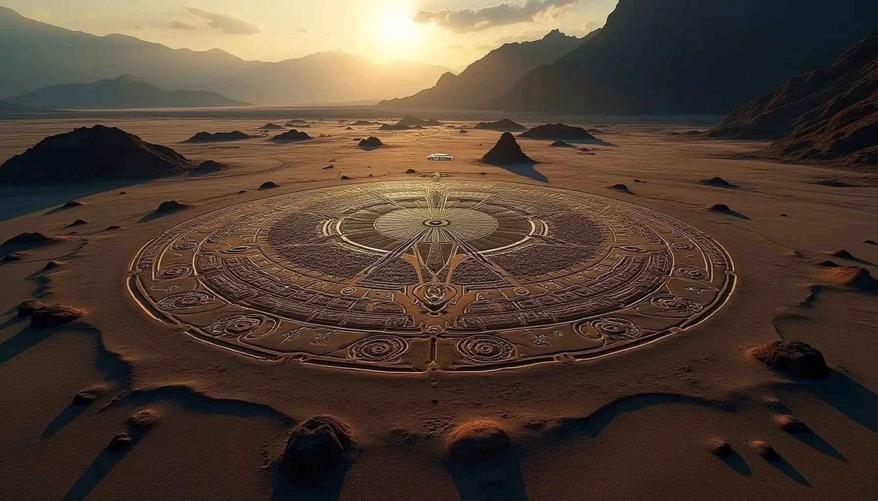
    In a groundbreaking announcement, researchers have unveiled the discovery of 303 new geoglyphs in the Nazca Desert of Southern Peru, thanks to advancements in artificial intelligence. This remarkable find nearly doubles the previously known geoglyphs, showcasing the power of technology in archaeology.

    Key Takeaways

    • Total New Discoveries: 303 new geoglyphs identified.
    • Significance of AI: AI technology has revolutionized the discovery process.
    • Geoglyph Characteristics: New geoglyphs include human figures, animals, and intricate designs.
    • Purpose of Geoglyphs: Theories range from astronomical significance to ritualistic practices.

    The Nazca Lines: A Brief Overview

    The Nazca Lines are massive geoglyphs etched into the desert floor, created by the ancient Nazca civilization. Dating back over 2,000 years, these lines depict various shapes, including animals, plants, and geometric patterns. Rediscovered in the 1920s, they have been a UNESCO World Heritage site since 1994.

    The Role of Artificial Intelligence

    For years, researchers have scoured high-resolution satellite images to identify new geoglyphs. However, the process was slow and often overlooked many ancient designs. With the introduction of AI technology, the pace of discovery has accelerated dramatically. In just a six-month window, the team identified 303 new geoglyphs, nearly doubling the total known geoglyphs from 430 to 733.

    Characteristics of the New Discoveries

    The newly discovered geoglyphs vary in size and complexity. They can be categorized into two main types:

    1. Geometric Geoglyphs: Larger and simpler designs, often depicting wild animals.
    2. Figurative Geoglyphs: Smaller, intricate designs showing human figures and activities.

    Notable Examples

    • Human Figures: Some geoglyphs depict human-like figures, including decapitated heads.
    • Animal Representations: New discoveries include llamas and birds, showcasing the diversity of the Nazca culture.
    • Unique Designs: One notable geoglyph is an ora holding a knife, reminiscent of scenes found on Nazca pottery.

    The Purpose of the Nazca Lines

    The purpose of the Nazca Lines has long been a subject of debate. Various theories suggest:

    • Astronomical Significance: Some believe the lines align with celestial bodies.
    • Ritualistic Practices: Others argue they were used for ceremonial purposes.
    • Agricultural Practices: Some theories link the lines to irrigation and farming.

    Despite extensive research, no single theory has gained universal acceptance. The discovery of 303 new geoglyphs may either clarify these mysteries or introduce new questions.

    Future Research and Discoveries

    The study of the Nazca Lines is ongoing, with researchers optimistic about finding even more geoglyphs. Estimates suggest that as many as 250 additional geoglyphs could still be waiting to be discovered. The goal is to create a complete map of the geoglyphs, potentially in collaboration with platforms like Google Earth.

    Conclusion

    The recent discoveries in the Nazca Desert highlight the incredible potential of AI technology in archaeology. As researchers continue to analyze the new data, the excitement surrounding the Nazca Lines only grows. Stay tuned for more updates as this fascinating story unfolds!
  • Prehistoric Mine In Lake Superior?

    Prehistoric Mine In Lake Superior?

    Lake Superior, the largest freshwater lake in the world by surface area, has long been a site of intrigue. Believed to have been inhabited over 10,000 years ago, it holds secrets that challenge our understanding of ancient civilizations. Among these are the prehistoric copper mines scattered across its islands, suggesting a sophisticated mining operation that predates known history.

    Key Takeaways

    • Lake Superior is home to ancient copper mines, possibly over 5,700 years old.
    • Some theories suggest these mines may have been created by extraterrestrial visitors.
    • The Ananan Boulder, a massive copper find, has historical significance to Native Americans.
    • Similar ancient mining operations have been discovered in other regions, raising questions about early human capabilities.

    The Ancient Mines of Lake Superior

    The islands of Lake Superior are dotted with prehistoric copper mines. Researchers have found an extensive network of tunnels and mine pits, some reaching depths of 150 feet. Carbon dating of wood remains found in these mines indicates they are at least 5,700 years old. However, some evidence suggests these mines could be much older.

    Interestingly, some investigators propose that these mines were not created by humans at all. Instead, they theorize that a sophisticated mining operation may have been undertaken by alien visitors thousands of years ago. This theory draws parallels to the ancient Carolina mica mines, which were used for electrical components.

    The Ananan Boulder

    One of the most astonishing finds in this region is the Ananan Boulder, a massive lump of pure copper discovered in 1771. Weighing 3,780 pounds, it was eventually sent to the Smithsonian. Native Americans, particularly the Kian Bay Indian Community, revered this boulder, using it in spiritual offerings to seek health and well-being.

    Evidence of Abandonment

    All the prehistoric mines show signs of having been abruptly abandoned. The reasons for this remain a mystery. Was it due to a catastrophic event, or perhaps the death of a significant leader? The evidence is scarce, but the remnants of these ancient operations are scattered along the lakeshore, hinting at a once-thriving industry.

    Other Ancient Mining Discoveries

    Similar ancient mining operations have been found in other locations, such as Lake Mead in Nevada. This site, known for its salt mines, has evidence of activity that predates Native American civilizations. Archaeologists have discovered circular carvings within the mine, suggesting advanced techniques were used to extract salt from deep within the mountain.

    The Mystery of Ancient Technologies

    The technologies used in these ancient mines remain largely unknown. While some believe primitive tools were employed, others argue that a more advanced understanding of mining and stone-cutting techniques was at play. This raises questions about the capabilities of ancient civilizations and their knowledge of natural resources.

    Cover-Ups and Hidden Artifacts

    Throughout history, there have been numerous reports of unexplained discoveries in mines. Many artifacts have reportedly been seized or hidden, leading to speculation about a cover-up. For instance, in Russia, a miner discovered an imprint of a chariot wheel in a coal seam, suggesting advanced technology existed long before recorded history. However, efforts to investigate were thwarted, and the site was subsequently flooded.

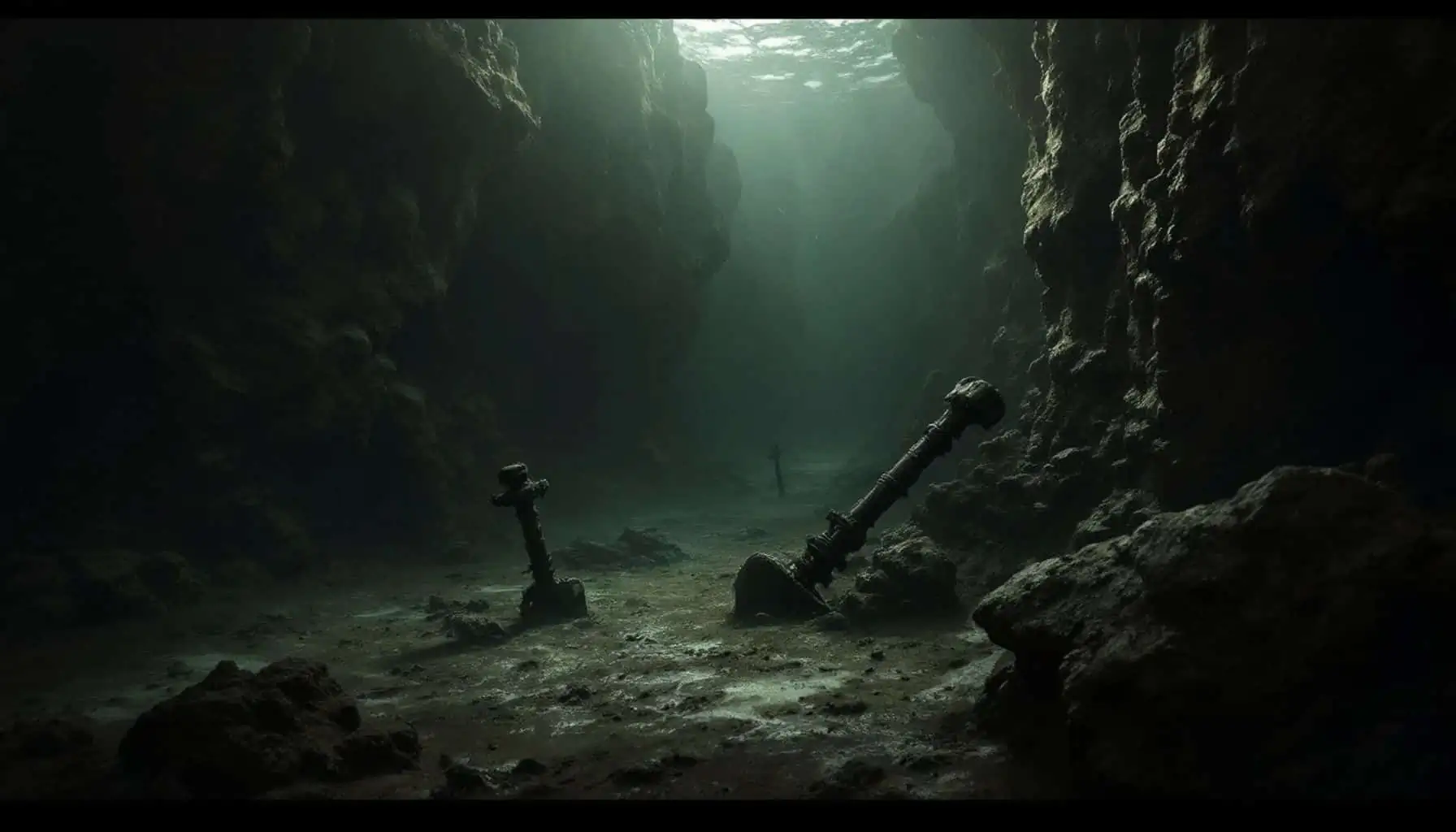
    Lake Michigan’s Underwater Ruins

    Lake Michigan also holds mysteries beneath its surface. Using remote sensing technology, archaeologists have discovered sunken boats, cars, and even a Civil War-era pier. Among these finds is a structure resembling Stonehenge, which, if confirmed as man-made, could indicate that complex societies existed in the region over 10,000 years ago.

    Conclusion

    The ancient mines of Lake Superior and other regions challenge our understanding of early human civilization. They suggest that our ancestors possessed knowledge and capabilities that modern society often overlooks. As research continues, we may uncover more about these fascinating sites and the people who once thrived in these areas. The mysteries of our past are waiting to be revealed, and each discovery brings us one step closer to understanding the true history of humanity.

  • Sahara Turns Green: Should We Celebrate or Worry?

    Sahara Turns Green: Should We Celebrate or Worry?

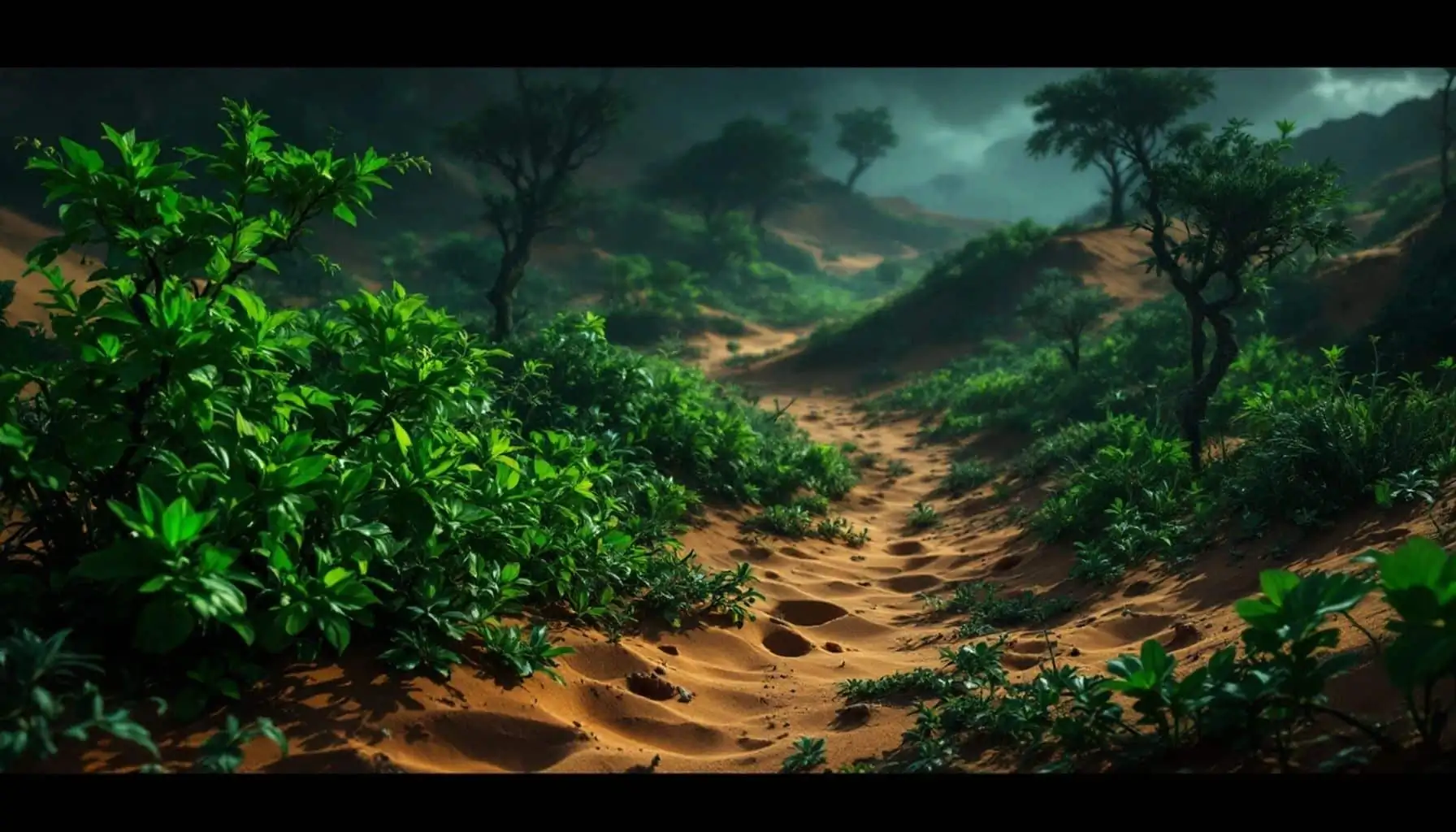
    The Sahara Desert, known for its relentless sun and vast stretches of sand, is undergoing a remarkable transformation. Recent satellite images from NASA reveal a surprising shift: the largest hot desert in the world is turning green. This unexpected change raises questions about climate change and its implications for the region.

    Key Takeaways

    • The Sahara Desert is experiencing significant greening due to heavy rainfall.
    • This phenomenon is linked to climate change, altering weather patterns in North Africa.
    • While the greenery may seem positive, it signals deeper environmental issues.

    The Sahara: A Historical Perspective

    The Sahara Desert spans over 9 million square kilometers across North Africa. Once, it was a lush landscape filled with lakes, rivers, and forests. Today, it stands as one of the driest regions on Earth. However, this transformation is not entirely new. Thousands of years ago, the Sahara was a vibrant ecosystem, and now, it appears to be reverting to its roots.

    The Current Transformation

    NASA’s satellite images show a dramatic shift in the Sahara’s landscape. Over the past few months, heavy rainfall has led to an explosion of plant life across the desert, particularly in Morocco, Algeria, Tunisia, and Libya. These areas, typically barren, are now sprouting green shoots, indicating a significant change in the environment.

    The Role of Climate Change

    While the Sahara’s greening may seem like a positive development, it is essential to understand the underlying causes. Climate change is altering storm patterns in Africa, pushing storm systems northward. As a result, regions that usually receive little rain are now experiencing unprecedented rainfall.

    • Rainfall Statistics:
      • North Africa received a year’s worth of rainfall in just a few days.
      • Areas like Niger, Chad, Sudan, Libya, and Egypt have seen over 400% of their typical rainfall since July.

    This sudden influx of water has led to catastrophic flooding, affecting approximately 4 million people in the region. The Sahara is now about six times wetter than it should be, raising concerns about the long-term implications of such drastic changes.

    The Ripple Effect

    Interestingly, while some areas are experiencing excessive rainfall, others are suffering from drought. Countries like Nigeria and Cameroon are receiving 50% to 80% less rainfall than usual. This imbalance highlights the complex nature of climate change and its impact on different regions.

    Conclusion: A Cause for Concern

    The greening of the Sahara Desert is a fascinating phenomenon, but it is not a cause for celebration. Instead, it serves as a stark reminder of the ongoing effects of climate change. As weather patterns continue to shift, the consequences for both the environment and human populations could be severe. The Sahara’s transformation is a warning sign, urging us to pay attention to the broader implications of our changing climate.

  • Unveiling The Denisovans: The Enigmatic Extinct Human Species

    Unveiling The Denisovans: The Enigmatic Extinct Human Species

    The Denisovans, a fascinating extinct human species, have captured the attention of researchers and enthusiasts alike. Discovered primarily through DNA analysis, they offer a unique glimpse into our evolutionary past. This article delves into what we know about these enigmatic beings, their tools, and their potential impact on human civilization.

    Key Takeaways

    • Denisovans were first identified through DNA, not fossils.
    • They coexisted with Neanderthals and modern humans.
    • Artifacts suggest advanced tool-making and possibly tailored clothing.
    • Denisovans migrated across vast regions, influencing modern populations.

    The Discovery of Denisovans

    The Denisovans were first identified in the Denisova Cave in Siberia, Russia. This cave, rich in archaeological significance, was initially explored in the 1970s by Russian paleontologist Nikolai Ovodov. While searching for dog remains, he stumbled upon a treasure trove of ancient artifacts.

    The cave has revealed 22 layers of sediment, dating back to 180,000 years ago. Among the findings were stone tools attributed to both Neanderthals and modern humans, indicating a complex interaction between these species.

    Artifacts and Tools

    Artifacts found in the Denisova Cave include:

    • Stone Tools: Mustan and Leval style tools, showcasing advanced craftsmanship.
    • Decorative Objects: Items made from bone, mammoth tusk, and ostrich shells, indicating a sophisticated culture.
    • Bone Needle: Dated to be 50,000 years old, possibly the oldest known needle.

    These discoveries suggest that Denisovans were not just primitive beings but had developed a level of sophistication in their daily lives.

    Genetic Insights

    In 2008, a significant breakthrough occurred when a finger bone belonging to a teenage female Denisovan was discovered. DNA analysis revealed that this individual lived between 50,000 and 30,000 years ago. This marked the first evidence of a previously unknown human species.

    Researchers have identified six distinct Denisovan individuals through DNA analysis, including:

    1. Denisova 2: An adolescent female, the first Denisovan fossil discovered in 1984.
    2. Denny: A hybrid between a Neanderthal mother and a Denisovan father, showcasing interbreeding between species.
    3. Denisova 11: Another significant find, providing insights into Denisovan genetics.

    Migration Patterns

    Denisovans were not confined to Siberia. Evidence suggests they migrated across Western Eurasia, East Asia, New Guinea, and Oceania. Modern populations in these regions carry up to 5% Denisovan DNA, with the highest percentages found in Indigenous groups in Australia and the Philippines.

    Interestingly, Icelandic people are the only Europeans known to carry Denisovan DNA, suggesting a unique migration history.

    Physical Appearance

    While much about the Denisovans remains a mystery, some insights can be drawn from their remains. The few fossils discovered suggest they were similar in size to Neanderthals, challenging the notion that they were a race of giants. Reconstructions indicate they likely resembled Neanderthals more than modern humans.

    Cultural Myths and Misconceptions

    Despite the scientific evidence, myths about the Denisovans persist. Some claim they were a race of giants with advanced technology. However, there is no credible evidence to support these assertions. The Denisovans were a distinct species, closely related to Neanderthals, and their contributions to human evolution are still being explored.

    Conclusion

    The Denisovans represent a crucial piece of the puzzle in understanding human evolution. Their advanced tools, genetic legacy, and migration patterns highlight the complexity of our ancestral history. As research continues, we may uncover even more about these enigmatic beings and their role in shaping the human story.

    Join the conversation about the Denisovans and share your thoughts in the comments below!

  • Unidentified People Identified

    Unidentified People Identified

    In a world where countless individuals remain nameless, the stories of those who have been identified after years of mystery shine a light on the power of modern forensics and human determination. These cases, often involving “John and Jane Does,” reveal the emotional journeys of families seeking closure and the relentless pursuit of truth.

    Key Takeaways

    • Advances in forensic technology have revolutionized the identification of unidentified individuals.
    • Each case tells a unique story of loss, tragedy, and the quest for belonging.
    • Community involvement and genealogical research play crucial roles in solving cold cases.

    The Hitchhiker: A 50-Year Mystery

    In July 1971, a tragic discovery was made in Snen Creek, Oregon. A deceased male teenager was found, but due to the limited forensic technology of the time, his identity remained a mystery for decades. The Cous County Sheriff’s Office worked tirelessly to identify him, but their efforts were in vain. He was buried with a headstone simply reading “unidentified male juvenile.”

    Fast forward to 2016, when a woman, referred to as Miss X, began her own journey to find her biological parents. Born in the 1970s and adopted, she discovered her father’s name, Winston Arthur Maxi III, who had been missing since 1971. Unbeknownst to her, Winston had been laid to rest in an unmarked grave for over 50 years.

    In 2017, the Cous County Sheriff’s Office exhumed his remains for DNA testing. Despite initial setbacks, they partnered with Parabon NanoLabs, which successfully identified Winston through familial matches. In October 2021, the long-lost identity of the hitchhiker was finally revealed, bringing closure to Miss X and Winston’s family.

    Septic Tank Sam: A Gruesome Discovery

    On April 13, 1977, Charlie and Mavis McLoud stumbled upon a horrifying scene while searching for a septic tank pump in Towfield, Canada. They discovered a body wrapped in a yellow bed sheet inside an abandoned farm’s septic tank. The remains, later dubbed “Septic Tank Sam,” were in an advanced state of decomposition, making identification difficult.

    The autopsy revealed a tragic fate: Sam had been tortured and murdered. Despite extensive investigations, his identity remained unknown for 44 years. In 2020, the RCMP enlisted the help of AAM Incorporated, a private forensic genealogy company. After analyzing degraded DNA, they identified Sam as 25-year-old Gordon Sanderson, a victim of the 60s scoop, where Indigenous children were forcibly removed from their families.

    Physics John Doe: A Scholar’s Fate

    On January 2, 2015, the remains of a man were found in Roner Park, California, alongside journals on science, math, and physics. Dubbed “Physics John Doe,” his identity eluded investigators for six years. The Sonoma County Sheriff’s Office employed various forensic techniques, but it wasn’t until 2018 that they partnered with the DNA Doe Project.

    In December 2021, they announced the identification of the man as 48-year-old Steven Patrick Arer from Seattle. The project successfully matched his DNA with that of his mother, providing closure to his family.

    El Dorado Jane Doe: A Life of Secrets

    The case of El Dorado Jane Doe began on July 10, 1991, when a woman was found shot in a motel room in Arkansas. Known as Mercedes, she was a sex worker with a troubled past. After her death, investigators discovered multiple aliases she had used, complicating the identification process.

    In 2019, the DNA Doe Project submitted her DNA to a genealogy database, leading to familial connections. Although her family had no knowledge of her struggles, they vowed to honor her memory until her true identity could be uncovered.

    Bill Lewis: A Long-Lost Son

    In 1983, a farmer in Indiana discovered the skeletal remains of a young man, later identified as Bill Lewis. His case remained cold until 2021 when advancements in DNA technology allowed investigators to identify him as a 19-year-old who had gone missing in 1982. Bill’s family, who had long mourned his disappearance, were finally able to bring him home for a proper burial.

    Conclusion

    These stories highlight the incredible advancements in forensic science and the relentless pursuit of truth. Each identification not only brings closure to families but also serves as a reminder of the importance of community involvement in solving cold cases. As technology continues to evolve, we can hope for more resolutions to the mysteries surrounding unidentified individuals.

  • The Mysterious Origin of the Sumerians

    The Mysterious Origin of the Sumerians

    The Sumerians, a remarkable ancient civilization, are often credited with laying the foundations of urban culture and writing in Mesopotamia. Despite their significance, the origins of the Sumerians remain shrouded in mystery, sparking debates among scholars for over a century.

    Key Takeaways

    • The Sumerians were not the first inhabitants of Mesopotamia but are the earliest known ethnic group.
    • They developed one of the first fully developed writing systems and built some of the earliest cities.
    • The origins of the Sumerians are still debated, with various hypotheses regarding their arrival in Mesopotamia.

    The Sumerians: A Brief Overview

    The Sumerians are often recognized as pioneers in several fields, including writing, urban planning, and timekeeping. They inhabited the region known as Sumer, where they created a distinctive culture and language. The Sumerian language, deciphered through cuneiform texts, has no known relatives, adding to the enigma surrounding their origins.

    The Debate on Origins

    The question of the Sumerians’ origins is complex. Scholars have proposed several theories:

    1. Long-Term Inhabitants: Some believe the Sumerians were already in Mesopotamia during the Ubaid period, contributing to the region’s early development.
    2. Recent Arrivals: Others argue that the Sumerians arrived shortly before the emergence of their writing system, adopting existing names and technologies from earlier inhabitants.
    3. Amalgamation of Groups: A third hypothesis suggests that the Sumerians were a mix of various groups who migrated to Mesopotamia over centuries, gradually forming a common culture and language.

    Archaeological Evidence

    The earliest evidence of Sumerian presence is found in logographic texts dating back to around 3600 BCE. Archaeological findings indicate a seamless transition from Ubaid to Uruk material culture, suggesting continuity rather than an influx of new groups. However, the lack of direct evidence before this period complicates the narrative.

    Language and Culture

    The Sumerian language is unique and isolated, with no known relatives. Attempts to connect it to modern languages have not been convincing. The Sumerians referred to their language as “Emma gear,” meaning native tongue, which does not provide clues about its origins.

    The Role of Genetics

    Recent genetic studies on the Marsh Arabs, who live in the region once inhabited by the Sumerians, suggest they may be descendants of the Sumerians. However, the genetic evidence is still inconclusive, and more research is needed to understand the Sumerians’ lineage.

    Conclusion

    The origins of the Sumerians remain one of ancient history’s great mysteries. While various theories exist, none provide definitive answers. As research continues, we may uncover more about this fascinating civilization and its place in the tapestry of human history.

    If you found this exploration of the Sumerians intriguing, consider sharing your thoughts and supporting further discussions on ancient history.

  • The Location of El Dorado Is on These Old Maps

    The Location of El Dorado Is on These Old Maps

    The quest for gold has always captivated explorers, especially during the Age of Exploration. Among the most famous legends is that of El Dorado, the mythical City of Gold. Although it was never found, maps from the 16th to the 18th centuries depicted its supposed location, raising questions about the truth behind this elusive city.

    Key Takeaways

    • El Dorado was a significant motivator during the Age of Exploration.
    • Sir Walter Raleigh led notable expeditions in search of the city.
    • Maps from the era often depicted El Dorado, influencing public perception.
    • The legend of El Dorado continues to impact modern culture.

    The Allure of Gold

    Gold has been a symbol of wealth and power throughout history. During the Age of Exploration, the search for gold drove many expeditions. El Dorado, often referred to as the City of Gold, became a focal point for adventurers.

    Sir Walter Raleigh’s Expeditions

    One of the most famous figures associated with the search for El Dorado is Sir Walter Raleigh. An English adventurer and favorite of Queen Elizabeth I, Raleigh was knighted in 1585. He was granted a charter to settle in the New World, but his ventures often ended in failure.

    In 1595, Raleigh embarked on an expedition to find El Dorado, inspired by tales from captured Spaniards. He believed the city was located near Lake Parime. Although he returned empty-handed, he remained convinced that the city was just out of reach.

    The Myth of Manoa

    Raleigh combined stories of El Dorado with another mythical city, Manoa. He described Manoa as a grand city, claiming it was founded on a vast lake. His writings fueled the legend, making many believe in the existence of El Dorado.

    The Role of Cartographers

    The maps created during this period played a crucial role in perpetuating the myth of El Dorado. The first notable map was published in 1598 by Dutch cartographer Jodocus Hondius. This map reported discoveries from Raleigh’s voyages, although the exact source of Hondius’s information remains unclear.

    • Key Cartographers and Their Contributions:
      • Jodocus Hondius: Published the first map depicting El Dorado.
      • Willem Janszoon Blaeu: Created a 1621 map that further popularized the legend.
      • Hessel Gerritsz: Contributed to the spread of El Dorado’s image on maps.

    The Decline of the Legend

    Despite numerous expeditions, El Dorado was never found. Raleigh made one last attempt in 1617, which ended tragically. His friend, Lawrence Camis, violated peace treaties with Spain, leading to Raleigh’s execution. This marked a significant decline in the search for El Dorado.

    Lasting Impact on Maps

    Even after the myth faded, El Dorado continued to appear on maps well into the mid-18th century. The illustrations led many to believe in its existence, despite the lack of evidence. It wasn’t until Alexander Von Humboldt’s expedition from 1799 to 1804 that the myth was thoroughly debunked.

    The Legacy of El Dorado

    Although El Dorado no longer appears on modern maps, its legacy endures. Today, nearly 50 cities and towns share its name, a testament to the enduring fascination with the legend. The story of El Dorado continues to inspire literature, film, and art, reminding us of humanity’s relentless pursuit of wealth and adventure.

    If you enjoyed this exploration of El Dorado, consider subscribing for more intriguing stories from history!

  • Ancient Bowl Discovered at Pumapunku Appears Sumerian in Origin! The Fuente Magna Bowl

    Ancient Bowl Discovered at Pumapunku Appears Sumerian in Origin! The Fuente Magna Bowl

    A remarkable discovery has emerged from Pumapunku, where an ancient bowl known as the Fuente Magna has sparked intrigue among historians and archaeologists alike. This artifact, featuring inscriptions that resemble ancient Sumerian symbols, raises questions about the connections between distant civilizations.

    Key Takeaways

    • The Fuente Magna is often referred to as the “Rosetta Stone of the Americas.”
    • Inscriptions on the bowl resemble ancient Sumerian writing.
    • The artifact was discovered in 1958 near Lake Titicaca in Bolivia.
    • Theories suggest possible cultural connections between Mesopotamia and South America.

    The Fuente Magna: An Overview

    Discovered in 1958 by a local farmer, the Fuente Magna is a large stone vessel that has become a focal point of debate within the archaeological community. Found near Lake Titicaca in Bolivia, its unusual inscriptions have led to numerous studies and controversies.

    The bowl features a mix of linear glyphs and wedge-like symbols, leading to speculation about its origins. Some researchers, including Dr. Clyde Winters, suggest that the inscriptions may be Proto-Sumerian, a script used in Mesopotamia over 5,000 years ago.

    Inscriptions and Their Significance

    The inscriptions on the Fuente Magna are particularly noteworthy. They include:

    • Linear Glyphs: Resembling ancient Sumerian writing.
    • Wedge-Like Symbols: Similar to cuneiform, the writing system of ancient Mesopotamia.

    These features have led to various theories about the bowl’s origins and its potential connections to ancient civilizations.

    Theories of Cultural Connection

    The resemblance of the Fuente Magna’s inscriptions to ancient Sumerian writings has prompted several theories:

    1. Direct Contact: Some researchers propose that Sumerians or related cultures may have had contact with South American civilizations.
    2. Convergent Evolution: Others argue that the similarities could be coincidental, resulting from different cultures independently developing similar writing systems.
    3. Modern Forgery: Critics caution that the lack of solid provenance raises the possibility of modern forgeries.

    Controversies Surrounding the Artifact

    The Fuente Magna’s discovery is shrouded in mystery. Various accounts suggest it was unearthed accidentally, and its current location in a museum in La Paz adds to the intrigue. The circumstances of its discovery and the lack of clear provenance complicate efforts to authenticate the artifact.

    Conclusion

    The Fuente Magna remains an enigmatic artifact that continues to puzzle researchers. Whether it represents a genuine link between ancient civilizations or is merely a remarkable coincidence, it serves as a reminder of the complexities and mysteries of human history. What do you think about this fascinating discovery? Share your thoughts in the comments below!

  • Struck by a 125 Foot High Wave; Canada’s Recent Tsunami

    Struck by a 125 Foot High Wave; Canada’s Recent Tsunami

    In the early afternoon of December 4, 2007, a serene day at Chehalis Lake turned catastrophic. A massive landslide triggered a tsunami, creating a wave that reached heights of 128 feet. This event not only reshaped the landscape but also posed a significant threat to nearby communities.

    Key Takeaways

    • Date of Event: December 4, 2007
    • Location: Chehalis Lake, British Columbia
    • Wave Height: 128 feet (38 meters)
    • Speed of Wave: 59 mph (95 km/h)
    • Damage: 10,000 trees, three campsites, and a boat launch destroyed
    • No Casualties: No human lives lost due to the time of year

    The Landslide That Started It All

    On that fateful day, the tranquility of Chehalis Lake was shattered by a loud roar. A section of the mountainside east of Mount Ora collapsed, generating a landslide that moved at an astonishing speed of 134.2 km/h. This landslide was not just a minor event; it was a massive geological shift that would have dire consequences.

    The Tsunami’s Impact

    The landslide generated a tsunami that advanced across Chehalis Lake at a speed of 59 mph. Within just 30 seconds, the towering wave crashed against the eastern shoreline. Here’s a breakdown of the wave’s journey:

    1. Initial Impact: 30 seconds to reach the eastern shoreline.
    2. Northern Point: Another 15 seconds to hit the northernmost point of the lake.
    3. River Surge: 15 seconds later, the wave traveled half a kilometer up the Chehalis River.
    4. Continued Destruction: Over the next 3.25 minutes, the wave swept away thousands of coniferous trees lining the valley walls.
    5. Final Surge: The wave reached the southern end of the lake, partially surging over the downstream portion of the Chehalis River.

    Despite the extensive damage, including the destruction of three campsites and a boat launch, no lives were lost. The cold December weather had kept recreational activities at bay, which likely prevented potential casualties.

    The Aftermath: Log Jam and Flood Risk

    In the wake of the tsunami, thousands of floating logs formed a log jam, resembling a beaver dam. This created a new risk: a potential outburst flood that could threaten communities downstream. Fortunately, efforts to remove the debris blocking the river’s path were successful, alleviating the immediate danger.

    Why Did This Happen?

    The cause of the landslide and subsequent tsunami is complex. Typically, such events in Alaska or Canada are linked to retreating glaciers. However, in this case, no nearby glaciers had recently retreated. Instead, the region’s steep and rugged topography played a significant role.

    • Historical Context: The area had been glacier-free for about 10,500 years.
    • Pre-existing Conditions: Ground imagery revealed extensional cracks, indicating a slow landslide had been occurring unnoticed.
    • Triggering Factors: The heaviest rainfall in 13 months lubricated the landslide block, leading to the catastrophic collapse.

    Conclusion

    The Chehalis Lake tsunami serves as a stark reminder of nature’s power. While the immediate impact was devastating, the lack of casualties highlights the importance of timing and environmental conditions. As we reflect on this event, it’s crucial to understand the geological factors that contribute to such disasters, ensuring we remain vigilant in monitoring and preparing for future occurrences.

  • The First Ancient Humans Suddenly Disappeared And Archaeologists Can’t Figure Out Why

    The First Ancient Humans Suddenly Disappeared And Archaeologists Can’t Figure Out Why

    In a groundbreaking exploration of ancient civilizations, archaeologists are grappling with the sudden disappearance of advanced peoples who predate even the Egyptians. This article delves into the enigmatic ruins of Göbekli Tepe and Derinkuyu, revealing the mysteries surrounding these ancient sites and the cultures that once thrived there.

    Key Takeaways

    • Göbekli Tepe is the oldest known megalithic site, dating back over 11,000 years.
    • The site challenges traditional timelines of human development, suggesting advanced civilizations existed much earlier than previously thought.
    • Derinkuyu is an extensive underground city that may have served as a refuge during cataclysmic events.
    • Theories about the disappearance of these civilizations range from natural disasters to advanced technology.

    The Discovery of Göbekli Tepe

    In 1963, a routine archaeological survey in southeastern Turkey uncovered Göbekli Tepe, a site that would change our understanding of early human civilization. Initially thought to be a medieval cemetery, further excavations revealed massive stone structures, some reaching heights of 18 feet and weighing up to 50 tons. These stones were intricately carved with depictions of animals and humanoid figures.

    Radiocarbon dating placed Göbekli Tepe’s construction between 9,600 and 8,200 BCE, making it over 5,000 years older than Stonehenge. This discovery raised profound questions: Who built this monumental structure, and how did they manage to create such intricate designs without advanced tools or writing?

    Theories About Göbekli Tepe’s Purpose

    As archaeologists debated the purpose of Göbekli Tepe, several theories emerged:

    1. Religious Center: Some believe it served as one of the world’s first religious sites, a place of worship for early organized belief systems.
    2. Astronomical Observatory: Others speculate it was aligned with celestial events, indicating a sophisticated understanding of astronomy.

    The Vulture Stone and Cataclysmic Events

    In 2017, researchers Martin Sweatman and Demetrios Sitos proposed that the Vulture Stone at Göbekli Tepe contained encoded information about ancient constellations. They suggested that the carvings recorded a significant event: the Younger Dryas impact, a period of sudden global cooling marked by catastrophic climate changes.

    This theory implies that not only did a sophisticated civilization exist over 12,000 years ago, but they also had the capability to record astronomical events with precision. This raises questions about the builders’ advanced knowledge and why they vanished from history.

    The Underground City of Derinkuyu

    In addition to Göbekli Tepe, the underground city of Derinkuyu offers further insights into ancient civilizations. Rediscovered in 1963, Derinkuyu is a marvel of engineering, capable of sheltering up to 20,000 people. Carved from soft volcanic rock, it features an extensive network of tunnels, churches, and living quarters.

    The origins of Derinkuyu are shrouded in mystery, but it is believed to have been constructed by the Phrygians in the 8th century BCE. The city served as a refuge during invasions and natural disasters, showcasing the ingenuity of ancient societies in adapting to their environments.

    The Lycians: A Lost Civilization?

    The Lycians, known for their unique tombs and vibrant culture, also present a fascinating case. Their intricate rock-cut tombs and architectural feats raise questions about how such a civilization achieved these wonders. The myths and legends surrounding the Lycians may hold clues to their advanced societal structures and eventual disappearance.

    Conclusion

    The mysteries surrounding Göbekli Tepe, Derinkuyu, and the Lycians challenge our understanding of early human history. As archaeologists continue to explore these ancient sites, they uncover evidence of advanced civilizations that thrived long before recorded history. The enigma of their sudden disappearance remains, inviting further investigation into the depths of our past. Understanding these lost civilizations is crucial to piecing together the story of humanity and our shared heritage.